Log in
All resources
Create a design
32,720 Free Images of Maps Indicating Exploration
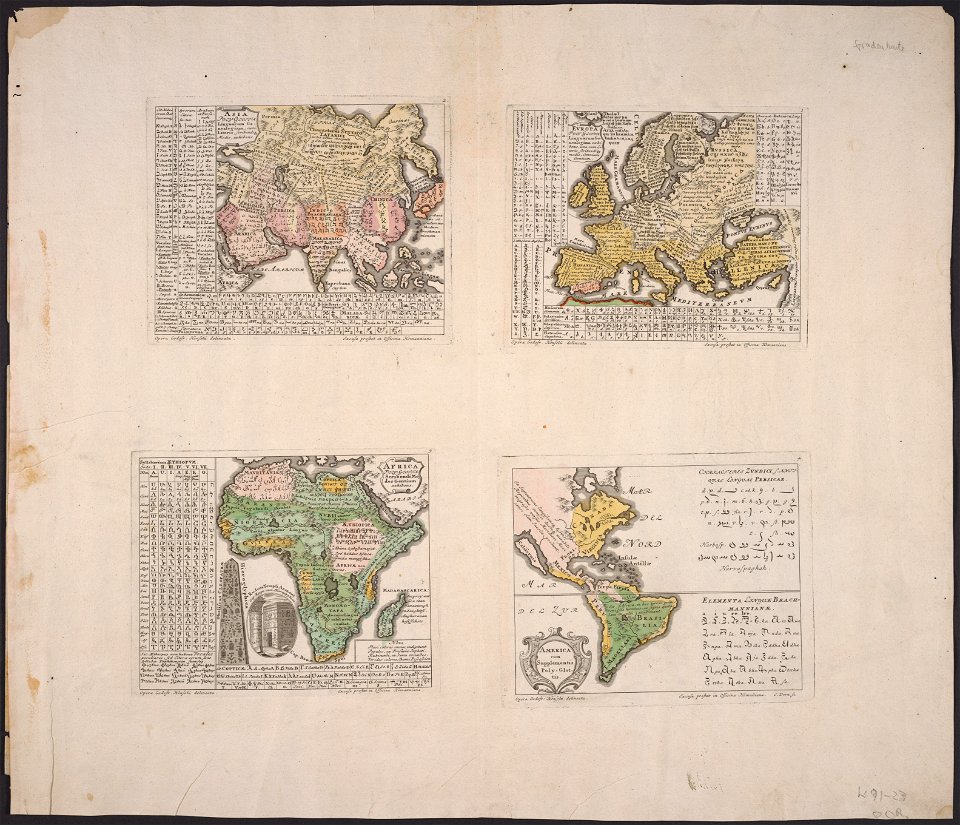
maps made in the 17th century
gerard valck
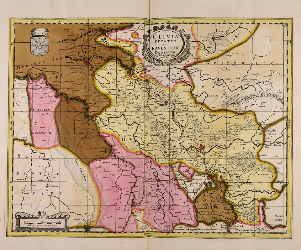
maps by pieter schenk (i)
atlantis magni tomus secundus (biblioteca comunale di trento)
maps in the library of congress
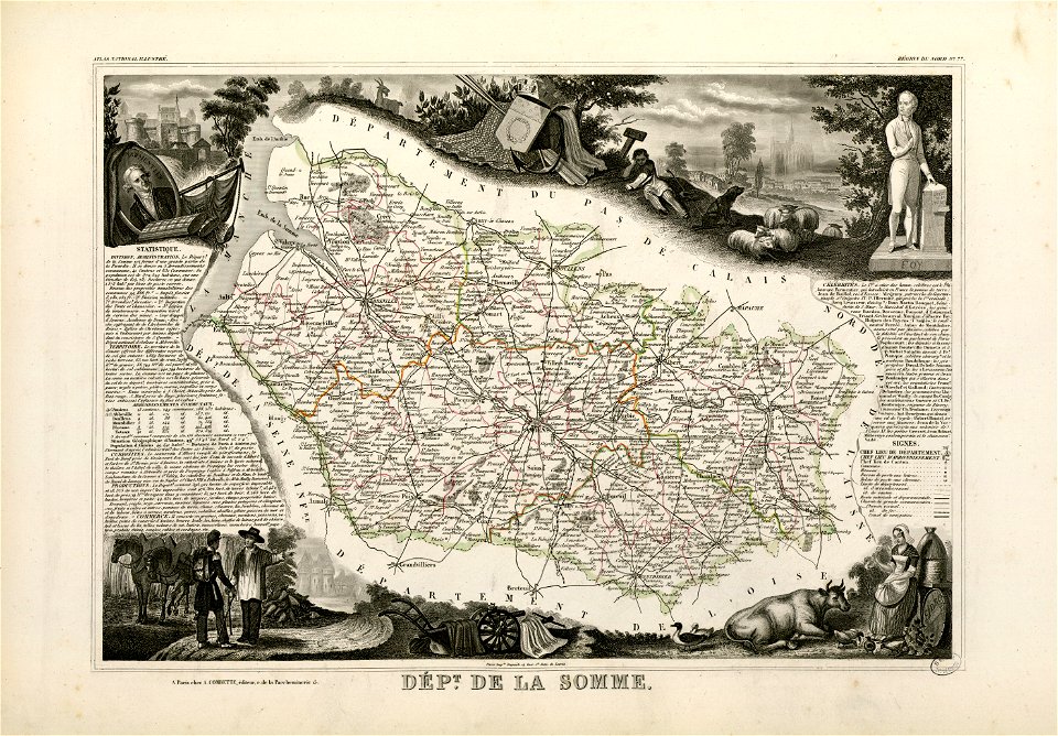
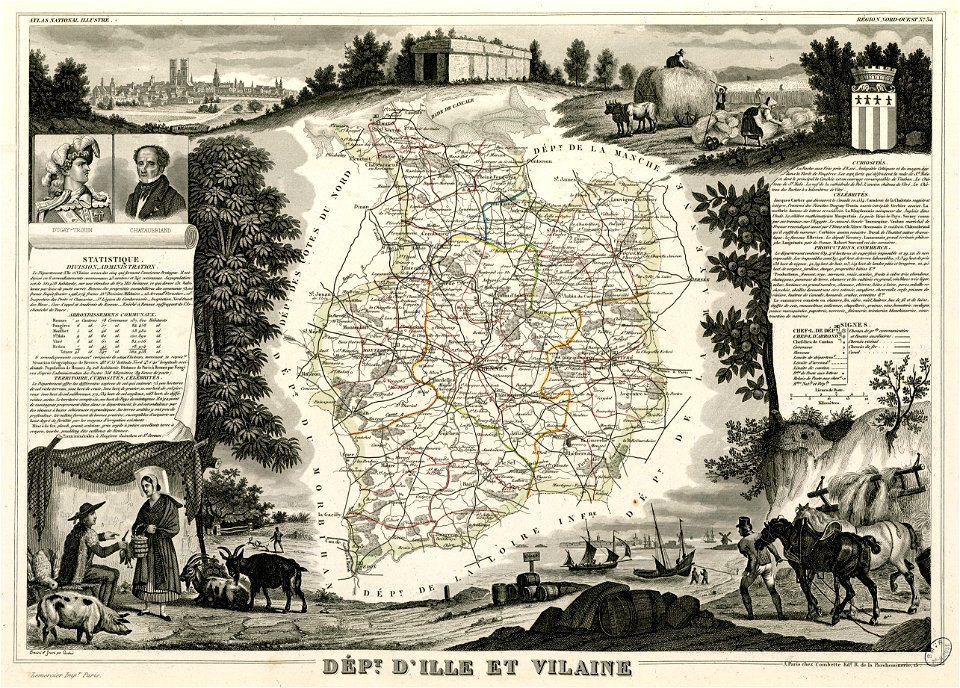
fonds ancely - bibliothèque municipale de toulouse - maps
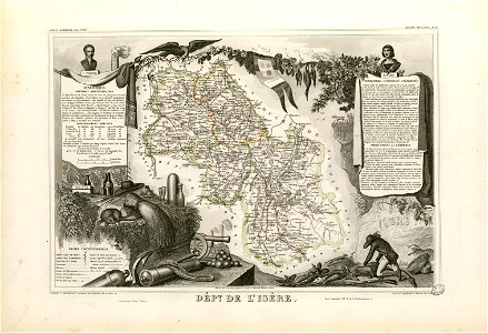
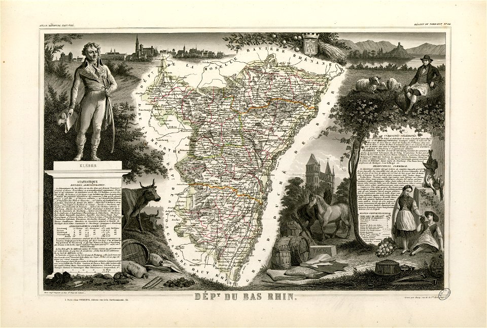
victor levasseur - maps of france
atlantis magni tomus tertius (biblioteca comunale di trento)
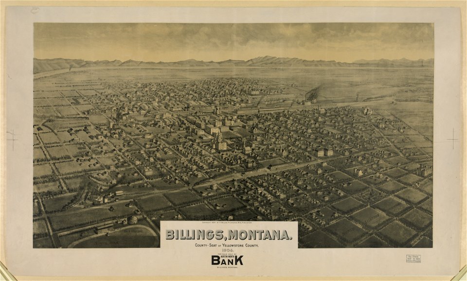
o. h. bailey
frédéric-auguste laguillermie
maps in the library of congress
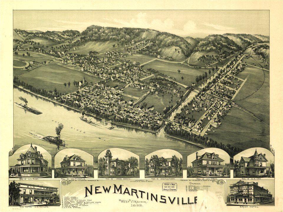
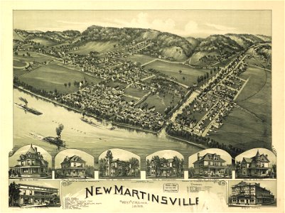
west virginia
maps in the library of congress
west virginia
volume 5 of le tour du monde
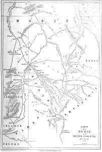
old maps of sudan
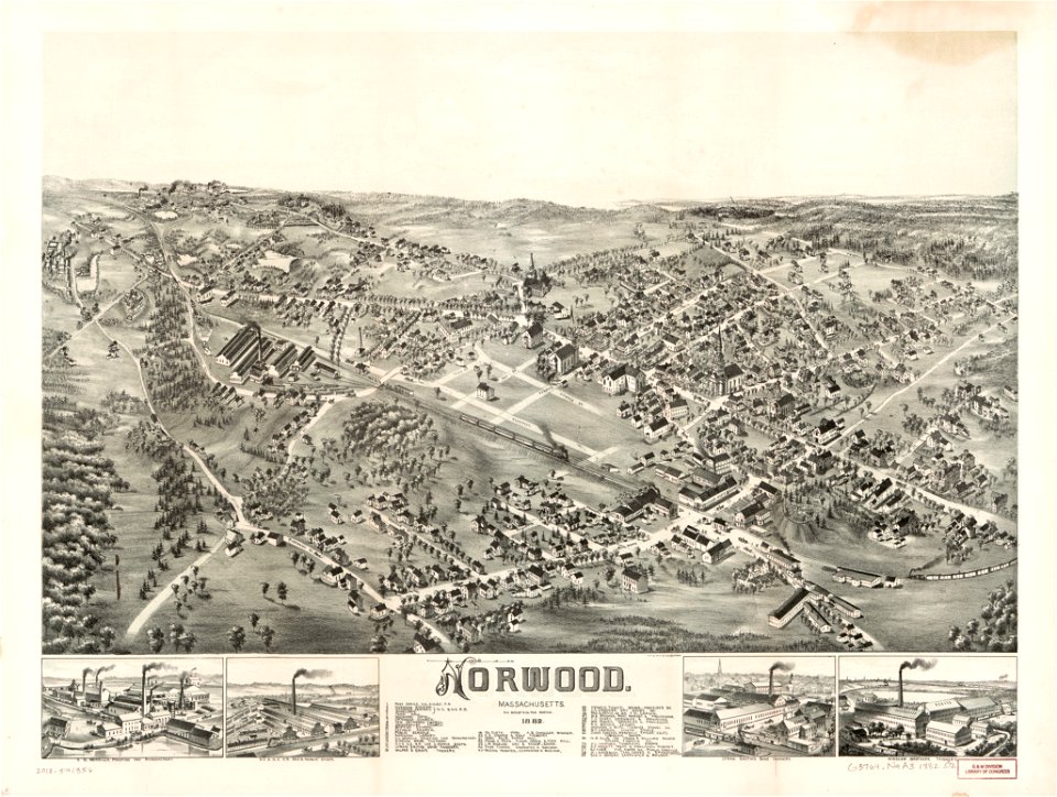
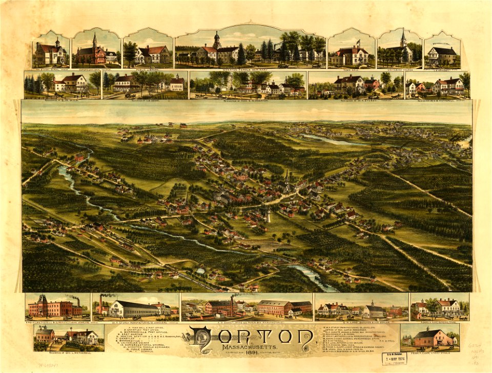
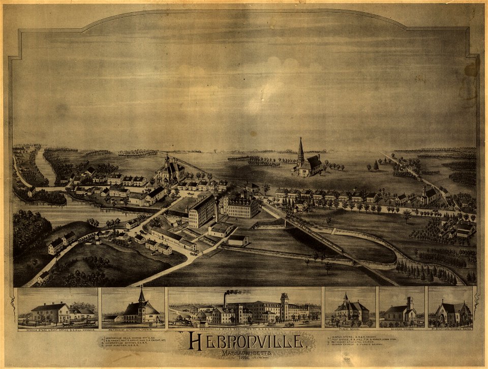
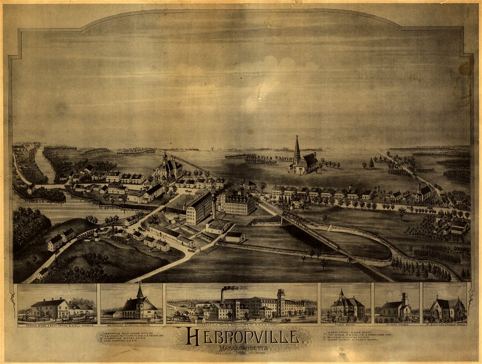
massachusetts
norwood
massachusetts
norwood
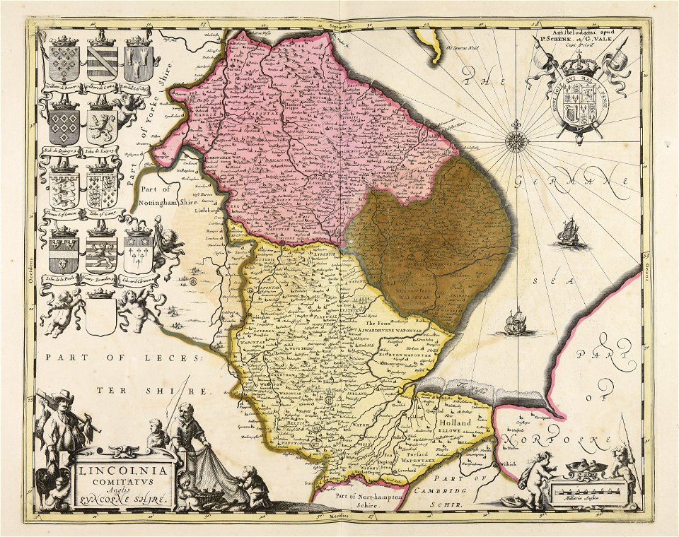
charts and maps of the royal museums greenwich
1766 maps
o. h. bailey
1891 map
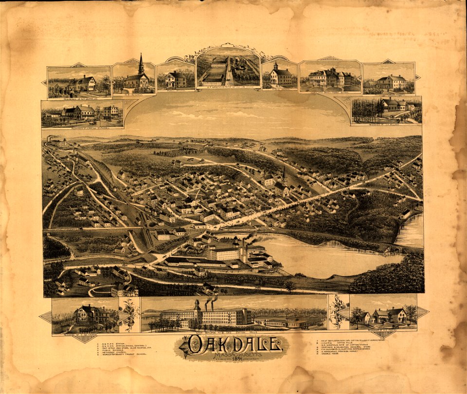
massachusetts
oakdale
massachusetts
oakdale
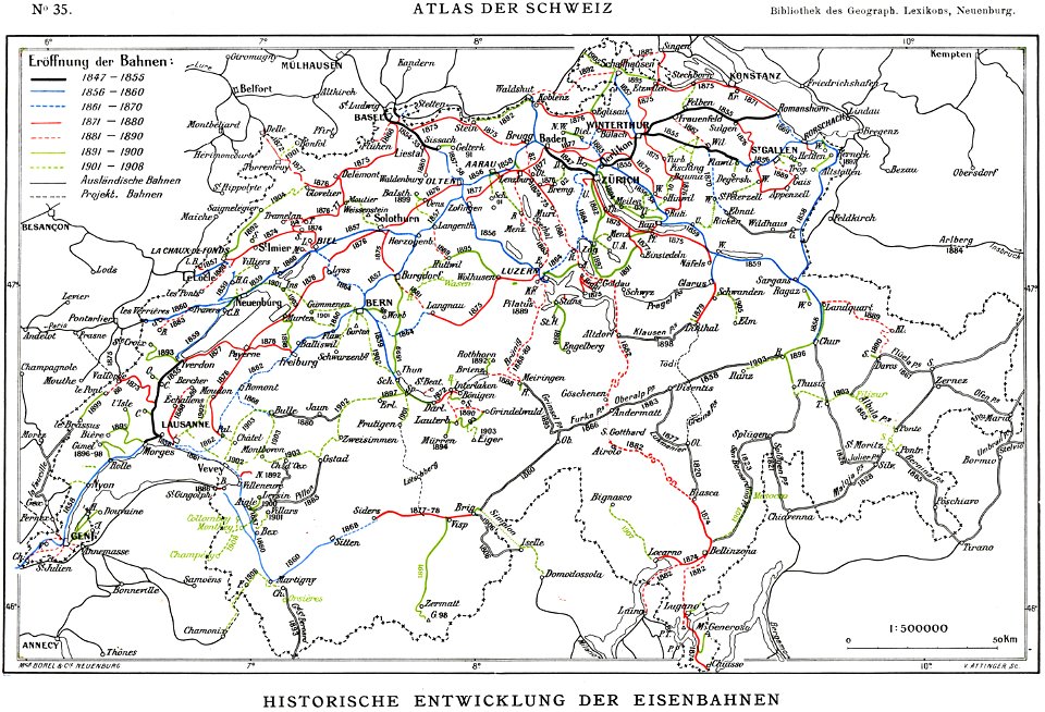
history of rail transport in switzerland
rail transport maps of switzerland
university of toronto wenceslas hollar digital collection
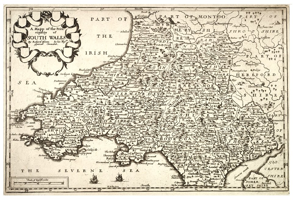
old maps of wales
maps by alexandre vuillemin
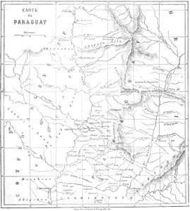
old maps of paraguay
ancient egypt
egypt
johann christoph winkler
old maps of prague
1590s maps of the world
frans hogenberg
maps in the library of congress
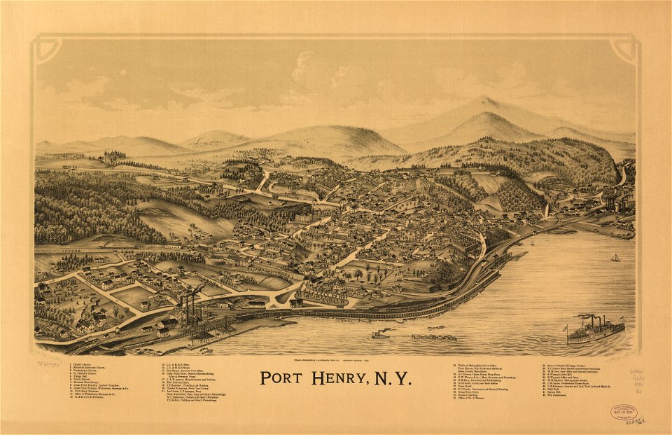
new york
claudio monteverdi
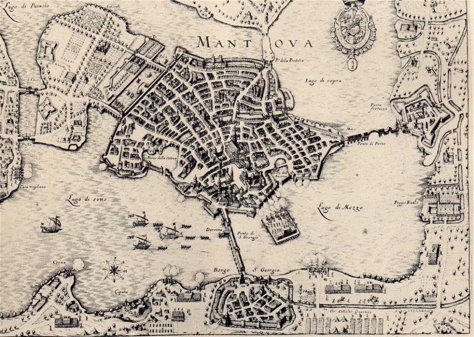
history of mantua
western pomerania
maps of stralsund
maps in the library of congress
l. r. burleigh
o. h. bailey
1891 map
o. h. bailey
1891 map
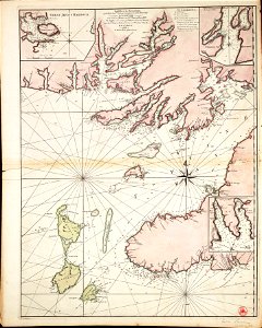
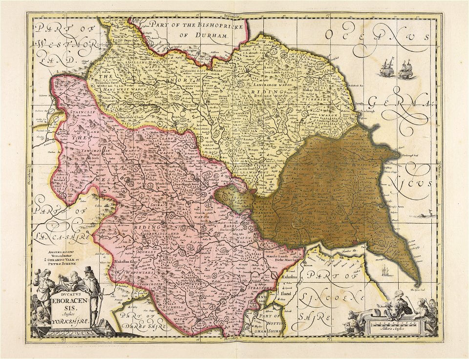
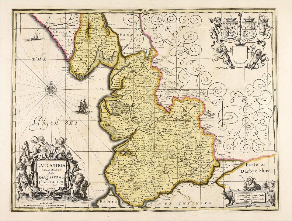
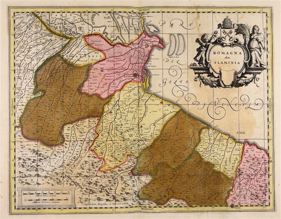
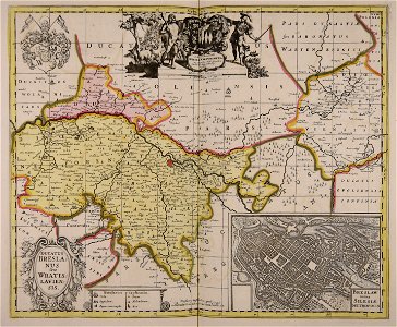
maps made in the 17th century
gerard valck
fonds ancely - bibliothèque municipale de toulouse - maps
maximilien sébastien foy
fonds ancely - bibliothèque municipale de toulouse - maps
coats of arms of rennes
fonds ancely - bibliothèque municipale de toulouse - maps
coats of arms of le mans
fonds ancely - bibliothèque municipale de toulouse - maps
pierre-jean david
fonds ancely - bibliothèque municipale de toulouse - maps
frédéric-auguste laguillermie
coats of arms of bordeaux
carle vernet
fonds ancely - bibliothèque municipale de toulouse - maps
frédéric-auguste laguillermie
coats of arms of strasbourg (i)
jean-baptiste kléber
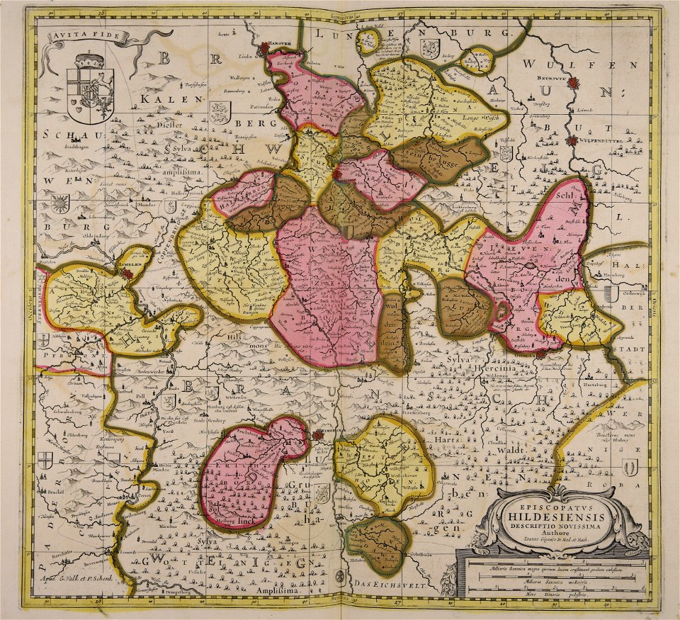
maps made in the 17th century
gerard valck
gerard valck
germany
lithographs of montana
montana
maps made in the 17th century
gerard valck
maps made in the 17th century
gerard valck
david rumsey historical map collection
j. and p. knapton
maps of the dutch east india company - madagascar
1665
maps of the dutch east india company - indonesia
1705
maps made in the 17th century
gerard valck
maps with cartouches
joan blaeu
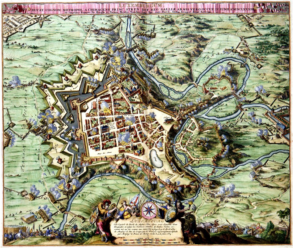
maps of luxembourg city walls
maps with cartouches
maps with cartouches
atlas van der hagen
old maps of the hague
siege of leiden
maps in musée de la compagnie des indes
17th-century engravings
maps made in the 17th century
gerard valck
maps made in the 17th century
gerard valck
cornell: persuasive cartography: the pj mode collection
cornell university library
maps made in the 17th century
gerard valck
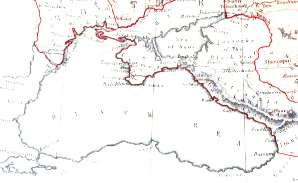
pictorial history of the russian war 1854-5-6 by george dodd
maps of circassia
maps made in the 17th century
lochaber
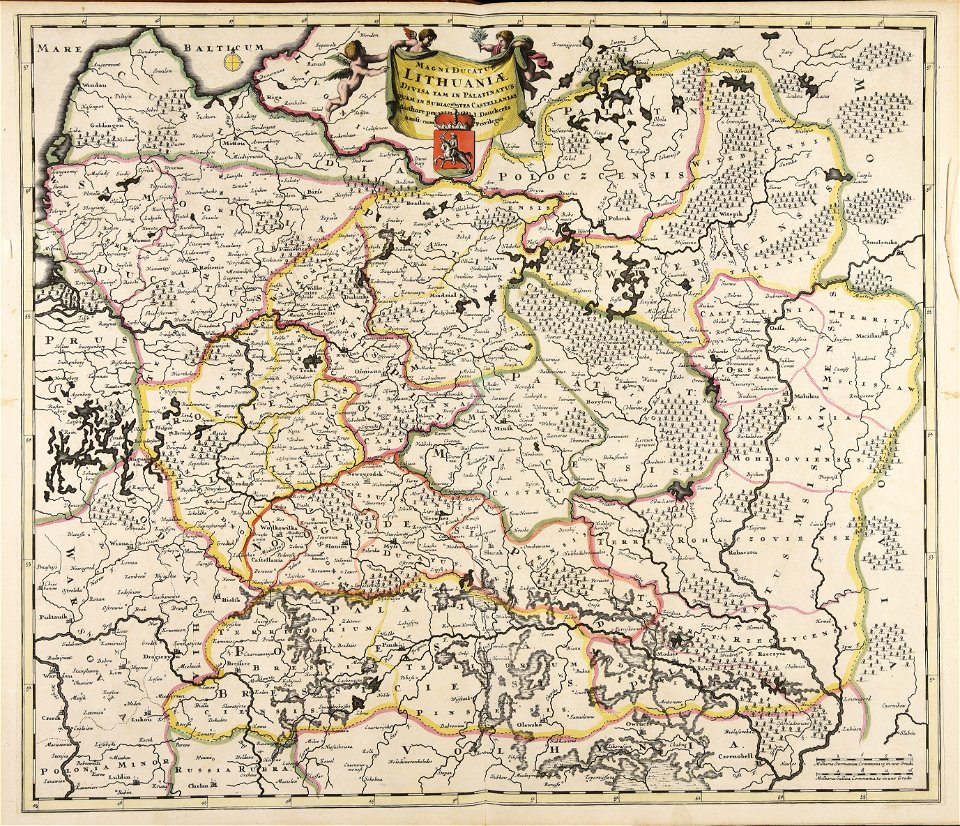
old maps of the grand duchy of lithuania
maps made in the 17th century
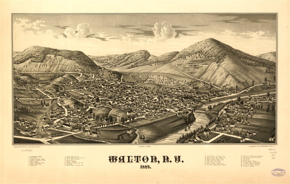
new york
walton
maps made in the 17th century
gerard valck
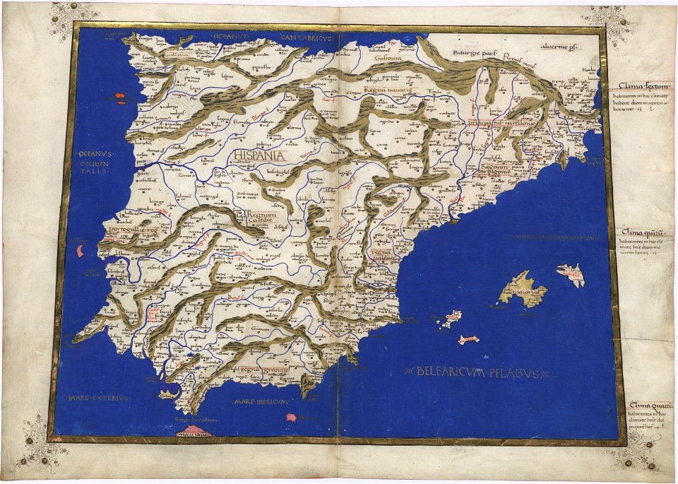
cosmographia claudii ptolomaei alexandrini
old maps of galicia (spain)
maps made in the 17th century
gerard valck
maps made in the 17th century
gerard valck
maps by pieter schenk (i)
gerard valck
maps made in the 17th century
gerard valck
maps made in the 17th century
gerard valck
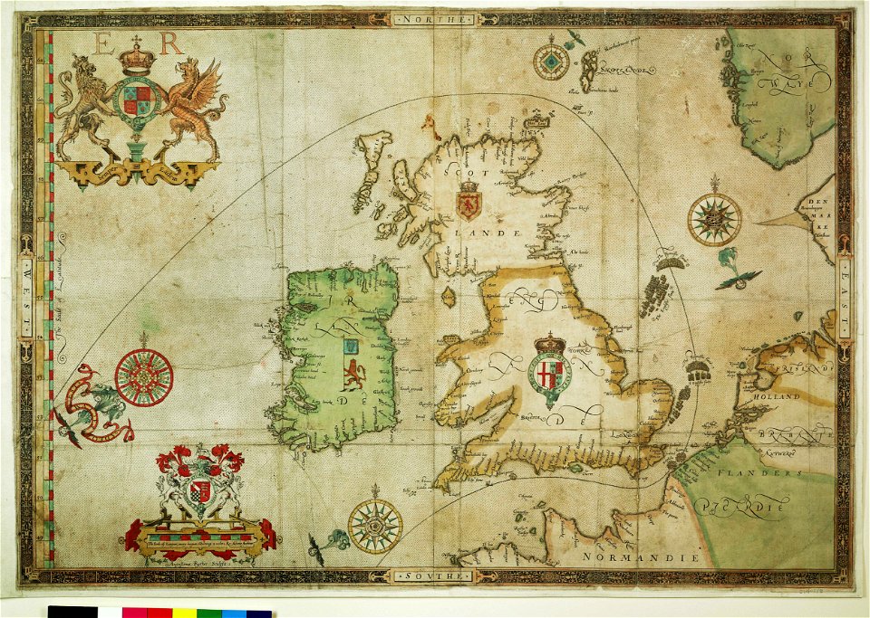
the track of the armada around britain and ireland
charts and maps of the royal museums greenwich
the track of the armada around britain and ireland
charts and maps of the royal museums greenwich
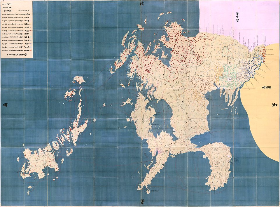
maps in the national archives of japan
hizen province
maps of the aleutian islands
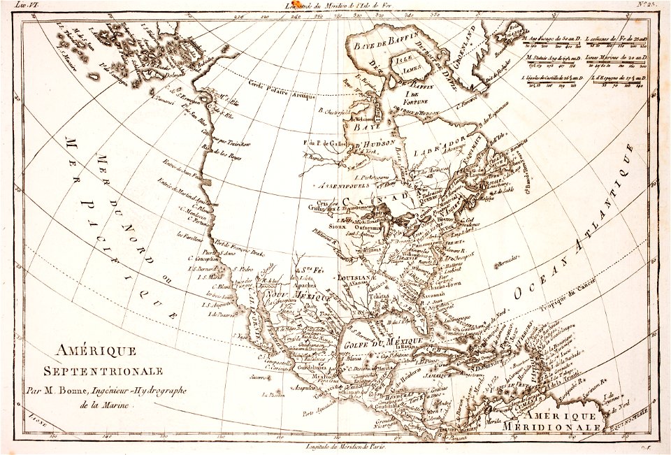
1780 maps of north america
maps made in the 17th century
gerard valck
maps made in the 17th century
gerard valck
maps made in the 17th century
gerard valck
olomouc fortress
1644
maps made in the 17th century
gerard valck
files from the bodleian libraries
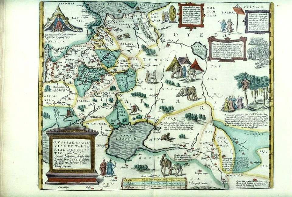
maps of tartary
maps made in the 17th century
gerard valck
maps made in the 17th century
gerard valck
maps made in the 17th century
gerard valck
maps made in the 17th century
gerard valck
maps made in the 17th century
gerard valck
parklandschaft klein-glienicke
königstraße (berlin-wannsee)
maps made in the 17th century
gerard valck
maps made in the 18th century
johann baptist homann
maps made in the 17th century
gerard valck
maps made in the 17th century
gerard valck
maps made in the 17th century
gerard valck
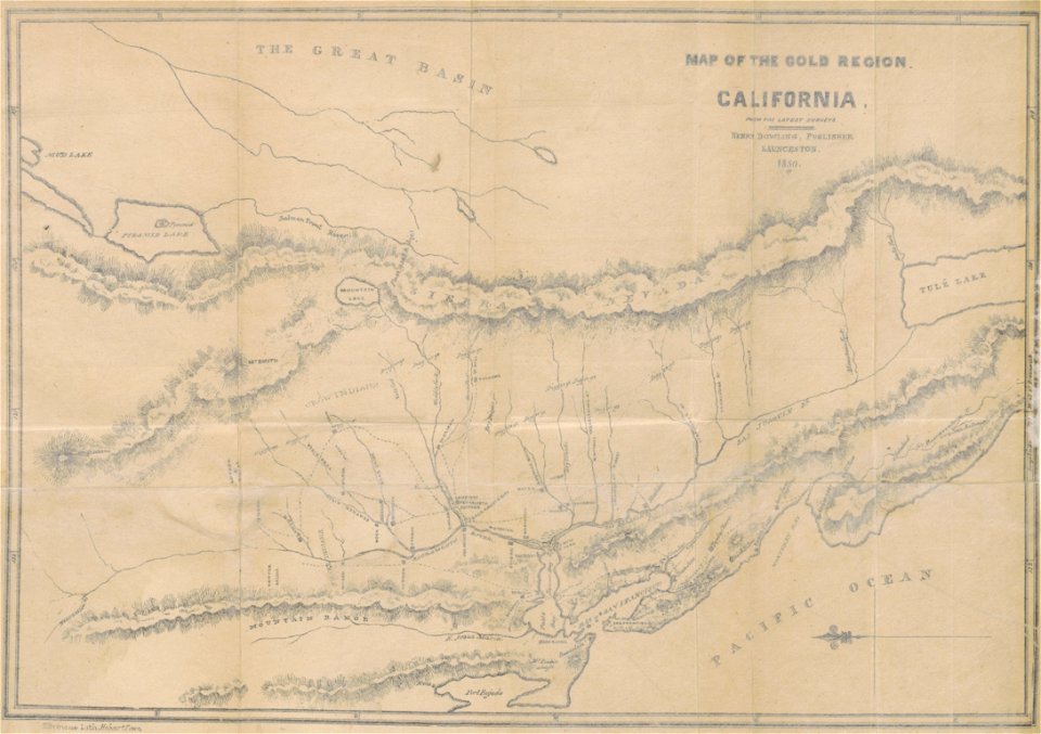
california gold rush
john sutter
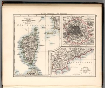
old maps of provence-alpes-côte d'azur
old maps of corsica
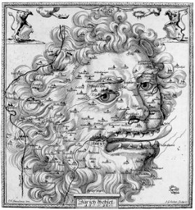
17th-century engravings
faces of men in art
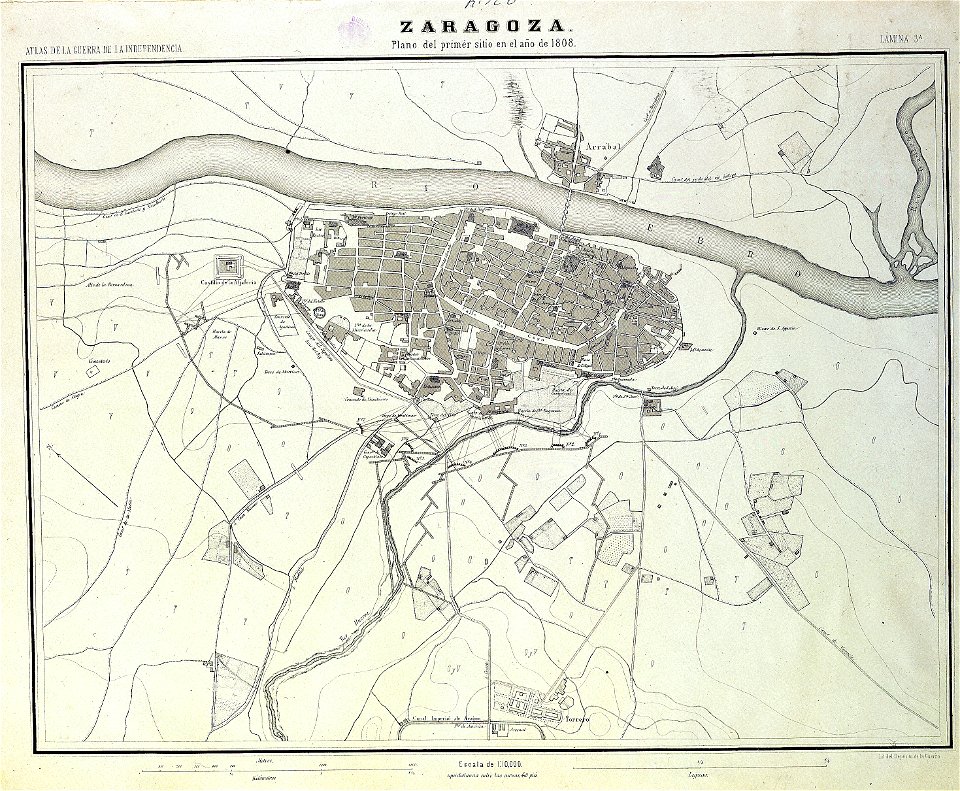
sitio de zaragoza (1808)
1868
maps from the mechanical curator collection
old maps of prussia
maps from the mechanical curator collection
old maps of prussia
old maps of the danube
french-language maps
19th-century satirical maps
1899 maps of europe
1852 lithographs
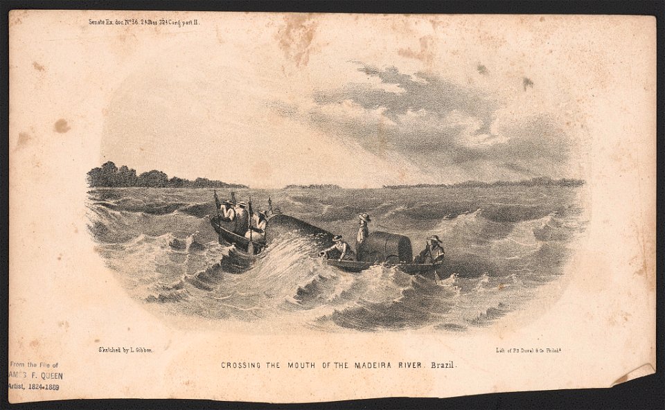
madeira river
images from the new york public library
george hayward
maps from the mechanical curator collection
old maps of prussia
maps by willem and johannes blaeu
ravelins
cornell university library
garden of eden
christopher columbus
ferdinand magellan
frédéric-auguste laguillermie
coats of arms of orléans
maps made in the 17th century
gerard valck
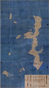
maps in the national archives of japan
genroku kuniezu
coats of arms of cities in corrèze
guillaume marie-anne brune
frédéric-auguste laguillermie
françois arago
maps made in the 17th century
gerard valck
4201 - 4300 of 32,720
Next page
/ 328